We are a pre-pay company
Forms of payment accepted:
- A paylink will be emailed to you to pay with any major credit card.
- Cashiers Check

We generate highly detailed maps of your land’s physical features, including elevations and structures, to provide a foundational blueprint for architects and engineers.

Beyond field measurements, we conduct exhaustive reviews of historical deeds and public records to provide a verified, logical determination of your property rights.
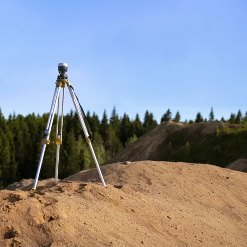
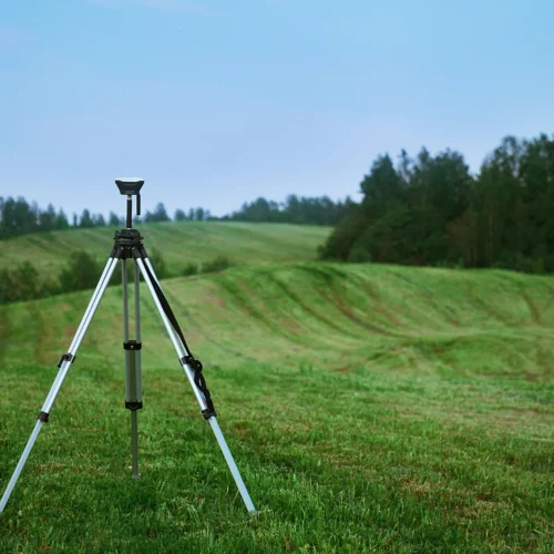
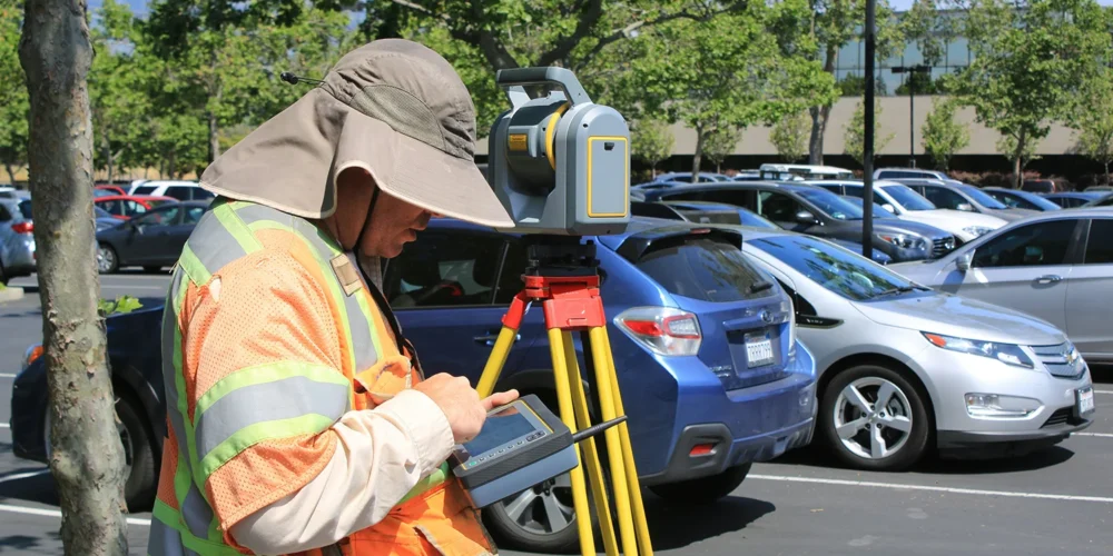
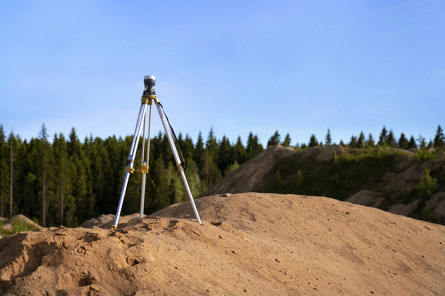
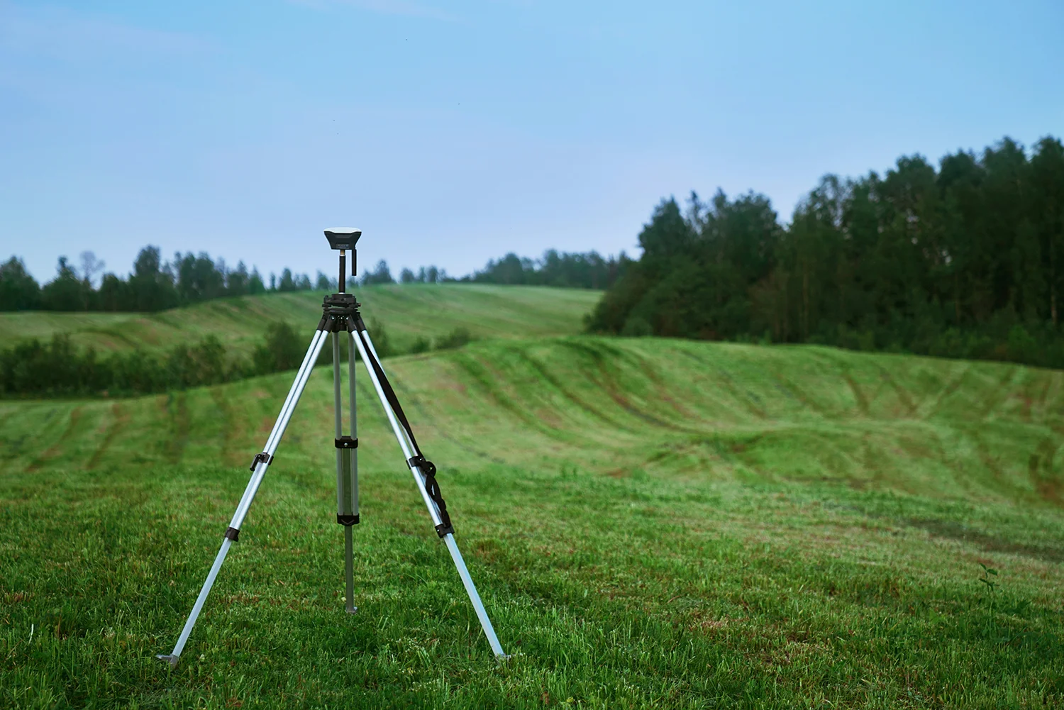
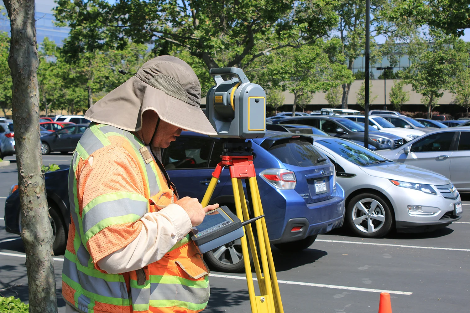
We utilize cutting-edge GPS, robotic total stations, and 3D laser scanning to deliver the high-resolution, accurate data your project demands.
Our detailed boundary surveys provide legal clarity to prevent costly encroachment disputes and protect your property rights.
We ensure your project meets all local zoning laws, building codes, and environmental regulations to facilitate a smooth permit approval process.
With years of experience across residential and commercial sectors, our licensed team serves as a trusted partner for reliable, data-driven decisions.
